Articles by tag: sputnikovye-snimki
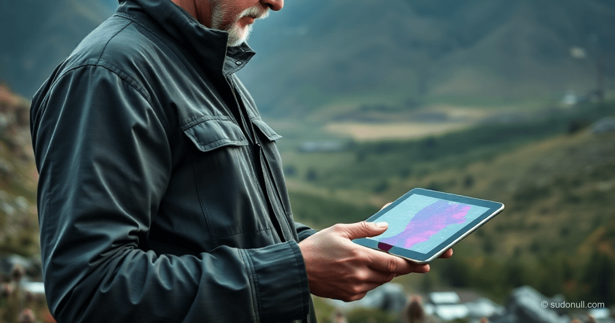
AI for hogweed detection on satellite images
Computer vision-based service speeds up hogweed labeling 50 times. GeoTIFF, IoU validation, 421 ha detected. Scaling for GIS ecologists — test for free.

Satellite imagery selection by water level
Learn how the “Uroven-Sputnik” service automates Landsat and Sentinel search for hydrological data. Architecture on PostGIS, STAC and MPC for hydrologists. Study the stack and implementation.