Mercator puzzle for geography experts
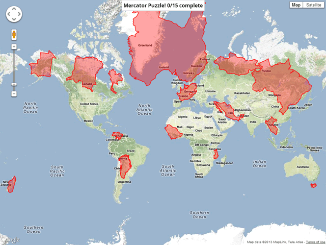
This Friday, Google released the Mercator geographic puzzle as an example of using the Google Maps API. You need to put pieces of land in the appropriate places on the map, given the development of the sphere on a plane - the Mercator projection . As you know, in such a projection the scale on the map is not constant, but increases from the equator to the poles as the inverse cosine of latitude. SVGs are recalculated accordingly for each item in the puzzle.