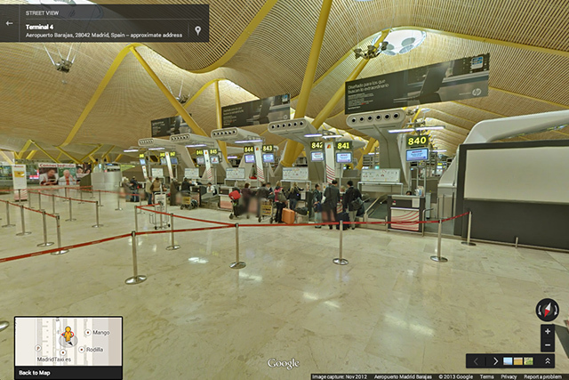
About 65 airports and railway stations appeared on Street View
Somehow I bought tickets for a flight with a transfer at Frankfurt Airport. Between arrival and departure, I had about 45 minutes for everything. Of course, I was worried that I would simply be lost and wouldn’t have time for the necessary flight. Fears were dispelled when I saw how logical the signpost system for passengers was at this airport. But if there were something like Street View for the airport, there would be much less fear.
The other day, Google just announced the addition of airports and railway stations to Street View, and this, it seems to me, is a significant achievement that can simplify the lives of tourists / businessmen and generally anyone who travels for one reason or another.

Perhaps someone will say that this is a gift to terrorists, but the latter, if they so wish, can scout anything. But for ordinary people, the benefits are quite real. True, there are only 16 airports on Street View, plus 50 railway and subway stations.
In the future, the corporation plans to expand the number of transit nodes available to users, and this cannot but rejoice.
Via Google LatLong