Old Maps and GoogleMaps
Someone David Ramsey created from his collection (more than 150,000 old maps) an excellent service with which you can find out what the area you need looked like a couple of hundred years ago.
Maps dated from 1680 to 1930. There you can check out Alaska before the sale to America.
And a lot of interesting things.
The map looks like this.
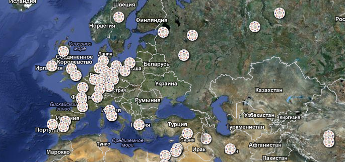
In order to see the old map of the area you need, click on the round.
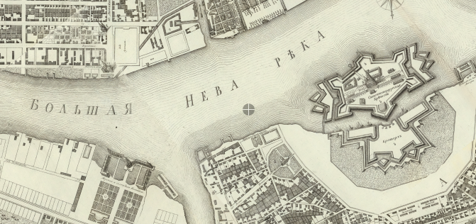
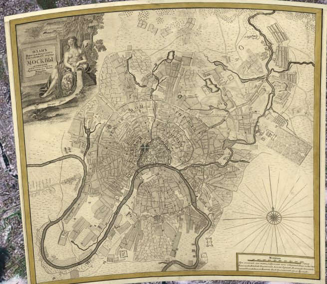
For example, here is a map of Moscow.
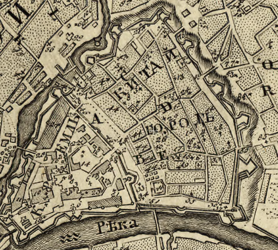
All this beauty zooms, as on ordinary cards.
Watch as GoogleMaps
Watch as GoogleEarth
Author’s site
UPD I will
raise from the comments links to similar sites
www.bigmapblog.com from Krassus
www.retromap.ru from Simba Press
www.oldmapsonline.org and russian-maps.livejournal.com from dom1n1k
etomesto.ru from GeckoPelt