Tweetping - all live tweets on the world map
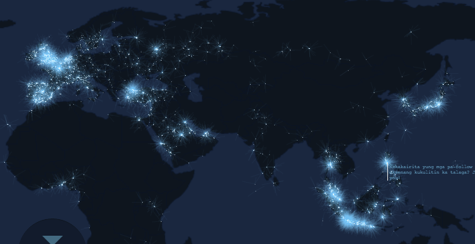
Tweetping is an interesting project from Franck Ernewein that takes a stream of tweets from the public Twitter API and places them on a map, simultaneously counting words and letters in tweets, and displaying the last mention and hashtag.
Since he takes tweets from the public API, only about 1% of all generated tweets are shown on the map, but this is quite enough to draw a beautiful map.
UPD You can make this cool screensaver using WebSaver (OS X) . The option for Windows (I have not tried it myself) is here .
Implemented on Nodejs + Socket.io , Processing.js and Backbone.js .