In a smart city there are no stupid roads. What is RWIS and how it will reduce the cost of road works

If the country were a living organism, and the roads were vessels, then Russia would have had an aneurysm long ago. In 2016, Rosstat published data on the state of roads in the country - it turned out that 62% of them do not meet quality standards. According to the calculations of the portal L! FE.ru, it is necessary to spend 8.6 trillion rubles for a comprehensive solution to the “road” problem throughout Russia - more than half of the state budget for the same 2016.
Smart roads are even more expensive. At the same time, they are still being introduced around the world - countries such as South Korea, the Netherlands, Germany and many others. What benefits does this bring in the long run?
Smart roads as a way to stay connected
With the help of smart roads, you can eliminate transport difficulties and waste resources. This, in turn, improves the quality of life of citizens and their business activity.
New developments are being implemented comprehensively, from intelligent traffic lights (which, incidentally, is already there in Vladivostok) to the smart pedestrian crossings.
In 2015, TechCrunch published an article about smart cities and their achievements in traffic management. It notes that security is a key component in the development of any intelligent transport solution.
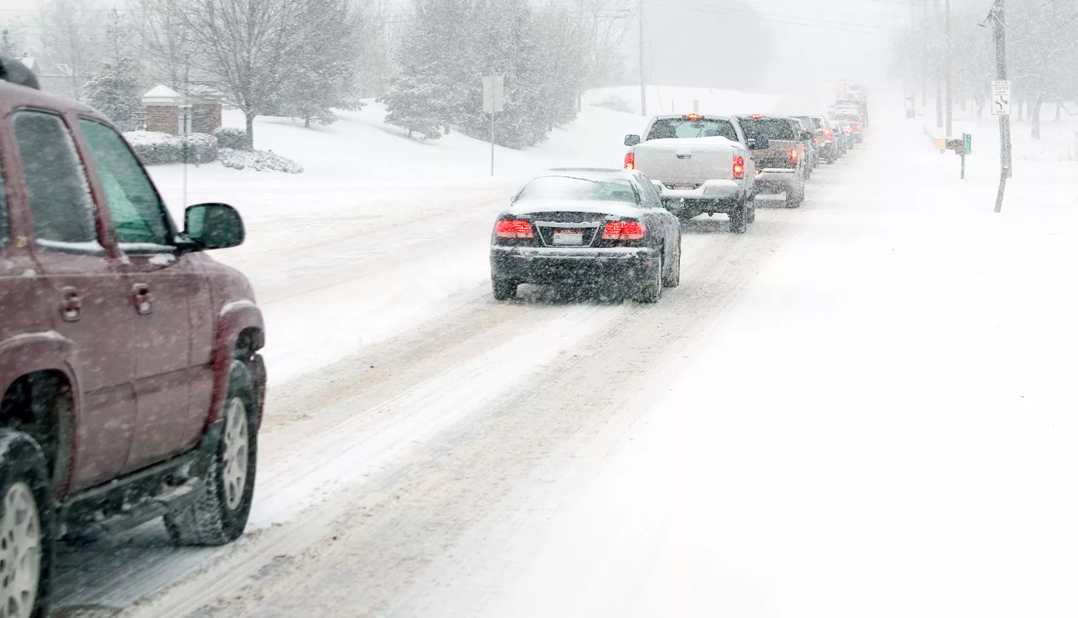
The introduction of smart road signs and pedestrian crossings will certainly work wonders. But if the driver loses control of his car because of the black ice - they are unlikely to help. Although weather data plays an important role in maintaining safe roads, they are often neglected.
One of the tools for monitoring weather conditions on the road is RWIS.
What is RWIS and how it works
RWIS, or the Weather Weather Information System, is a software and hardware complex designed to monitor meteorological conditions on roads. The stations measure meteorological data in real time and transmit this information to RWIS data centers.
Sensors measure:
- air temperature, surface, underground temperature (at a depth of 30 cm);
- road surface condition (dry, wet, snow, ice);
- thickness of the water layer;
- type, intensity and amount of precipitation;
- wind speed and direction;
- visibility on the road;
- concentration of anti-icing chemicals.
Sensors collect relevant weather data, which can then be converted into forecasts. These forecasts help to predict how the road will react to various weather events - and, thus, rationally distribute the repair teams across the territory.

This is the equipment for meteorological monitoring from the Russian manufacturer ARMIS RUS .
Each station collects a huge amount of information, but does not use all of it. The modern RWIS system allows you to store information in a central database and access it as needed. Information from the station comes in the form of raw data, meteorologists themselves turn them into graphs and forecasts.
Already prepared tables and graphs use traffic accident warning systems, emergency response and emergency operations centers, and road maintenance contractors.
It all sounds pretty optimistic: RWIS monitors the weather on the roads, and technical service technicians take action on time. Now the roads are safe, right? Or are there nuances?
What is the problem of traditional RWIS
The problem is that the system can give a correct prediction only if the sensors are located at short distances.
WeatherBrain experts recall that in 2017 in the Canadian city of Calgary, there were significant temperature fluctuations, which led to city residents in confusion.
So, in November of that year, Calgary International Airport recorded a temperature of -8.1 ° C, while the Springbank airport showed 8.4 ° C. As a result, the temperature difference was 16.5 ° C within 25 kilometers. It is unlikely that there are two RWIS stations in this 25-kilometer space - as a rule, they are located at a distance of 150-200 km from each other.
But such fluctuations in temperature will significantly affect road conditions. Consequently, for the correct operation of the information system you need a lot of stations.
But full-fledged RWIS stations require large investments. This would not be a problem if smart cities had large capital budgets for the purchase of RWIS systems and a lot of space for stations. However, this is not the case - the roadside space is intended for pedestrians, and city budgets are tight.
It turns out that the only way to find out about all the changes in the weather on the road is to fill in the gaps between the RWIS stations and monitor various sections. But the more stations, the more money they need. How to be?
Divide and rule
One way to reduce the cost of RWIS is to reduce its size. With “mini-stations” with limited functionality, you can fill in the gaps between large and reliable stations, while maintaining the accuracy of weather data. Small stations will cost less.
One of these developments is represented in Canada. WeatherBrain is an intelligent environmental monitoring system from Campbell Scientific Canada (CSC). The company uses IoT to simplify data collection and analysis.
For 40 years, CSC has provided accurate environmental intelligence around the world - from monitoring a solar farm in India and tracking meteorological events along the Canadian Arctic Archipelago to designing smart cities across Canada. So far, this is the only company in North America that is developing “mini-stations” to compact existing RWIS networks and collect climate data.
WeatherBrain receives road weather information from an existing RWIS network, complementing its own observations. The system then provides general intelligence in the form of indicators. This is one of the advantages of WeatherBrain - the AI itself processes the data and provides it to the consumer in a simple and understandable way. WeatherBrain

Compact Station
The station operates on solar energy, which has become a key factor in the economic efficiency of the device. True, this is connected with the inconvenience: for correct operation, the device must be installed in a place where daylight will flow unhindered.
Smart roads in Russia
In Russia, a number of highways are also equipped with road meteorological stations. One of the RWIS is on the Russian route M5, also known as Uralskoye Highway. Moscow Roads OJSC together with the German manufacturer Lufft established 98 stations there.

The NIRS31-UMB sensor from Lufft , located on the Uralskoye Highway.
The Helsinki-St. Petersburg-Moscow smart transport corridor, launched jointly with Finland in 2014, is also presented.
Within the framework of this project, an Petersburg-Helsinki information network has been created, which makes it possible to promptly inform traffic participants, state services and transport companies about the condition of roads, accidents and accidents along the way. Also, the route is equipped with a system of automatic meteorological sensors that record changes in weather conditions. True, for now, due to a loose network of stations, the data are not accurate enough.
This means that the first steps in building an intelligent transport infrastructure have already been taken. But is Russia ready for new solutions? Prospects for smart roads in Russia will be discussed during the panel discussion "Effective urban technologies of the future." It will be held at the Internet of Things conference. See the official website for details and the full program of the event .

.
