Using Google Maps modeled on 1927
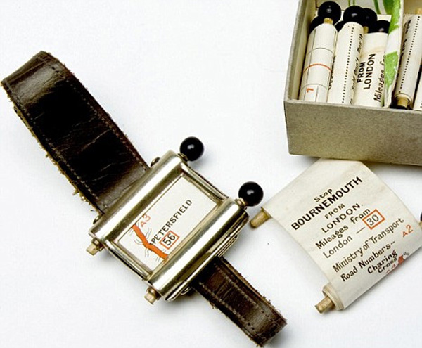
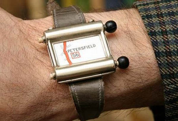
How did people of the past drive along unfamiliar roads at a time when there was no GPS navigation and Google Maps? They had to be creative. For example, in 1927, Plus Four Wristlet Route wristbands sold with a set of cards went on sale in the UK . Cards could be bought and inserted into a bracelet by yourself.
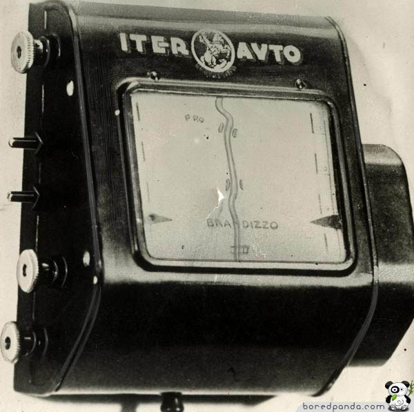
In the 30s, more sophisticated devices appeared in which a paper card was fixed under the glass in a mechanical navigator near the toolbar.

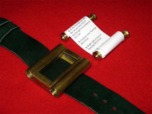
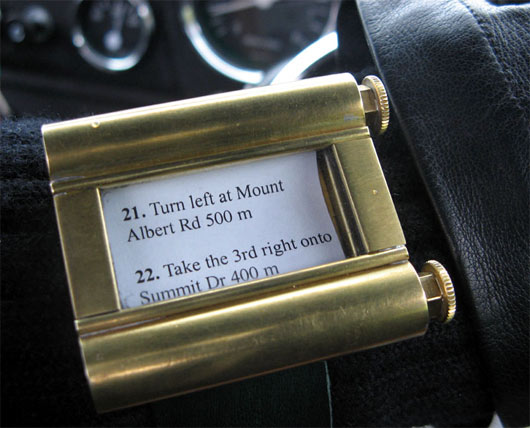
We now have Google Maps. But some still feel nostalgia for the good old analog devices and came up with such a combination: the route makes its way on Google Maps, and then a step-by-step instruction is printed on a long roll of paper and embedded in a wristband of the 1920s model.
In the 30s, more sophisticated devices appeared in which a paper card was fixed under the glass in a mechanical navigator near the toolbar.
We now have Google Maps. But some still feel nostalgia for the good old analog devices and came up with such a combination: the route makes its way on Google Maps, and then a step-by-step instruction is printed on a long roll of paper and embedded in a wristband of the 1920s model.