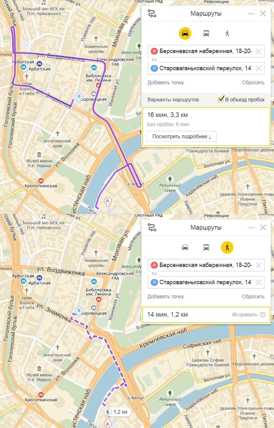
"Yandex.Maps" have learned to build walking routes
From courtyards, stairs, paths, through arches and bridges

On the web site Yandex.Maps , as well as in mobile applications for iOS and Android , the pedestrian routes function has been implemented. The maximum route length is limited to 50 km. For reference, Moscow between the tops of the oval has a length of 30 km, and the longest city in Russia is 145 km .
The walking route time on Yandex.Maps is calculated based on the average walking speed, that is, 5 km / h.
In the application it is now convenient to compare how long the same route will take on foot, by public transport or by car.

“The automobile graph is made up of a variety of roads: from intrapassways to highways. A pedestrian county includes paths and paths, “zebras”, stairs, arches in the walls of buildings, as well as highways accessible to pedestrians — for example, streets with sidewalks, ” explained Yandex.
The pedestrian graph is compiled on the basis of the “People’s Maps”, which are replenished by the users themselves - folk cartographers.
After receiving the route, each user can improve it, show a shorter path, a new path - and send information to change Yandex.Maps.

Pedestrian mode works on maps of Russia, Ukraine, Belarus and Kazakhstan.
