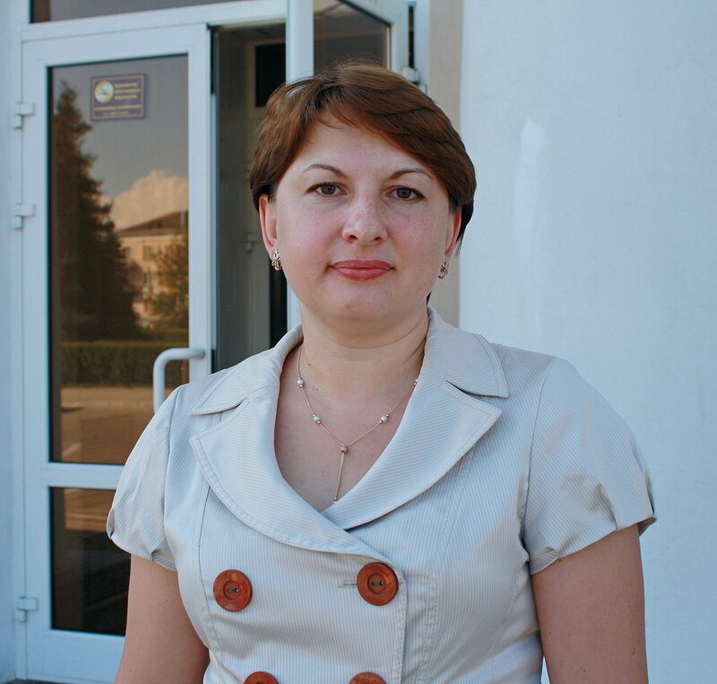
Elena Balashova: “Activists raised the question that the data of our GIS portal should be open to OpenStreetMap”
A year ago, the Togliatti administration transferred almost all of its Internet resources to a Creative Commons Attribution license, and the data of its GIS portal personally allowed the OpenStreetMap community to use it. Why they decided to do this, why officials are afraid of open data and what is the best way to obtain it - the head of the department of information technologies and communications of the city administration told about this in an interview. Tolyatti Elena Balashova.
- Why did you switch to Creative Commons and open EMGIS for OSM?
- We began to deal with information disclosure and open data in 2012, when the term “open data” for authorities first appeared in Russia. Then we analyzed the information we have and created the section “Open Data”on the administration’s website, where they laid out, as it seemed to us, the most interesting data sets. We can say that on this our "openness" for a while froze and paused. But this is not due to our closeness - we simply do not always know and understand what may be of interest to citizens or consumers of information.
As for the transition of the main Internet resources of the Togliatti administration to a Creative Commons license, last year an initiative group of citizens turned to us and offered to do this. So I understand that some of them are active participants in Wikipedia. They lucidly explained why they needed it and what our benefits were. We studied the regulations, the experience of other cities and agreed with their arguments.
A similar story happened with EMGIS. After almost all of our sites switched to the Creative Commons Attribution, activists raised the question of whether the data of our GIS portal was open to OpenStreetMap. Due to the legal features of the OSM license, they could not take data from under CC-BY - a personal permission of the copyright holder was required. We gave it to them .
We are pleased that our data helps someone write articles or draw a map. All this ultimately contributes to the development of our city. Maybe not as explicitly or soon as we would like, but it contributes.
- Why do you think the authorities still have a certain fear or unwillingness to “open” any data?
- In my opinion, there are only two factors that do not allow this direction to develop further. Firstly, unfortunately, many officials still believe that such data is their personal property. They stubbornly refuse to accept that this data belongs to everyone.
Secondly, among officials there are people who do not need openness. Data discovery is transparency, comprehensibility, impossibility of falsifications. After analyzing the totality of data, you can come to some conclusions yourself, which, probably, is not very interesting to someone. I will say more, from 2012 to 2015, when we were actively introducing various information systems within the Togliatti administration, some departments were not in a hurry to do this, because they understood that now everything would become transparent. Time passed, everyone got used to it, rebuilt. I think it will also be with "open data" - gradually it will become more and more.
- How often do they turn to you for opening this or that information? Was it like that?
- Here it is important to understand that my department is just an operator of many administration systems and does not always have this or that information that a citizen needs. It can be in the relevant departments: urban economy, transport or culture. But if such letters get to me, then we try to make every effort to help him. Of course, we are not talking about personal data or classified information. Therefore, if someone needs data from the Togliatti administration that fall under the concept of “open”, it is better to immediately contact me officially.
- Do you use open data yourself? OpenStreetMap?
- Specifically in my work - no.
- Why does the municipality need its GIS portal? How do you use EMGIS in your work?
- We have almost every structural unit in EMGIS has its own working closed layers, which they use every day. In addition, EMGIS is an information resource on which citizens can find various data, for example, you can see which roads will be repaired this year or how the forest is being restored. Now we are still trying to bring to EMGIS all the cameras that belong to the municipality.
- Who comes up with new layers for this service? How does this happen?
- At first, only my department was engaged in this - information technologies and communications. But in the past few years, the situation has changed. We have shown to all structural divisions of the administration what EMGIS is and how to work with it. They explained its advantages and why it is worth creating public industry sectors. Now other departments themselves are involved in the work. They know better what information they have that may be of interest to citizens. We only help them technically.
Pay attention, for example, to the Ecological Atlas . It seems to me that serious work has been done by the Department of Municipal Economy. And this layer is now in great demand. Or on the layer " Anti-alcohol schemes". It is used by employees of the administration, activists and even law enforcement agencies.
All gradually, the administration realized that EMGIS is a service that simplifies the work. After all, by doing so, we also remove a certain burden from ourselves: now we can always say that it is in open and free access - take it, use it. Moreover, the interaction of different departments was slightly simplified. Now some can take the data of others without unnecessary bureaucracy.
- What else is planned for the new?
- Our last layer is “ Socially significant objects”, On which you can find, as its name implies: monuments, squares, fountains, sports grounds, etc. It is especially interesting for the monuments: there are pictures, descriptions, sculptors, etc. This can be useful, for example, by Wikipedia or researchers. It seems to me that this is quite an interesting layer. We also noted camps and camp sites at EMGIS, as well as the boundaries of public councils of microdistricts, polling stations and gardening associations.
- Compare yourself with neighboring cities, regions?
- We understand that we are not ahead of the rest, but not in the last rows. We are very interested in the experience of Moscow, St. Petersburg and Kazan. We have someone to follow and where to go. But we also have potential and competencies. Otherwise, Togliatti would not have become a pilot city for the implementation of the federal project “Smart City”, one of the conditions of which is the creation of a digital twin of the city. To put it simply, we already have a lot of things digitized and there is a positive experience in implementing information systems in municipal administration, so the choice fell on us. But at the same time, we still have a lot to digitize so that it can be used to manage the city, analyze and make forecasts.
- Tell us about the Smart City project in Togliatti. What will it be? What projects are you talking about?
- I still can’t talk about all the details, because now our concept is awaiting approval by the Ministry of Construction of the Russian Federation. I suppose that it can change. The topic is new and so far everyone is only looking for a form. But I can say that in order to prepare this concept, we created several project teams, which were headed not by officials, but by active and advanced residents of our city. There were 6 such groups in different directions: ecology, education, culture, transport, security and the digital economy. Of course, “Smart City” is inconceivable without openness and open data. There should be more of them.
For our part, we have accumulated all their proposals and compiled a roadmap. She has already passed the expertise in the field, is now in the federation. We hope they will support us. If everything works out, then it will be a single system that will cover many aspects of the life of the city.
- Do you plan to use opensource solutions in the implementation of the Smart City project in Togliatti?
- We talked about this with colleagues at the regional level. In order to use such systems, you must first carefully study their code. Because we are a local government body. We have completely different security requirements.
- What would you say to your colleagues from other cities who are thinking right now: to open data or not? How to do it better? What advice would you give?
- Firstly, do not be afraid and understand that the process of opening data is primarily in your interests. Having engaged in data discovery, you can clean up your structures, figure it out and see what you have and what you don’t have, what else needs to be digitized. All this in the end will be useful to you in your work. Secondly, it is safe to accept the idea that these data are not yours, but belong to the city, that is, to everyone. Thirdly, open data is one of the ways the city develops. If you have interesting data sets, then many will be able to use them. All this, in the end, indirectly will make life in the city more comfortable and dynamic. Still have doubts? Then look at what license the Kremlin’s official website uses, and also look at the Moscow open data portal.
- What myths would dispel about the discovery of information? So you switched to the Creative Commons Attribution, allowed everyone to use the EMGIS data, and what happened?
- Nothing bad happened. Only good. In municipalities there is practically no secret information. If you do not steal, work honestly, and you have an explanation for absolutely every figure related to your career, then why be afraid? Citizens must understand what we are doing here. In addition, a lot of information is for reference only: a list of one or a list of another. Why hide it?
- What would you advise to those who want to receive some data from this or that authority?
- The authorities must be contacted officially, that is, to write letters. It is best to indicate in sufficient detail what a person needs and why. Do not despair if you answered not specifically or refused. If this happens, try to go to a personal reception, talk, convey information orally. Sometimes even this is a more effective way, but still it is better to start with a letter. Do not take officials as villains. It’s just that someone has not yet fully appreciated the importance of discovering information, the growth potential that contains openness. You should be patient and not give up.
Communication of Russian OpenStreetMap participants is in the Telegram chat room and on the forum .
There are also groups on social networks VKontakte , Facebook , but they mainly publish news.
Join OSM!