Mobile version of 2GIS - fresh portion of updates
Perhaps you saw in the spring our previous post on this topic. Therefore, following the trend, we really wanted to call this “Large-scale update of the mobile version of 2GIS is back” or “Large-scale update of the mobile version of 2GIS is striking back”. But the temptation had to overcome. However, the title is not the main thing, the main thing is the content. And we have something to tell.

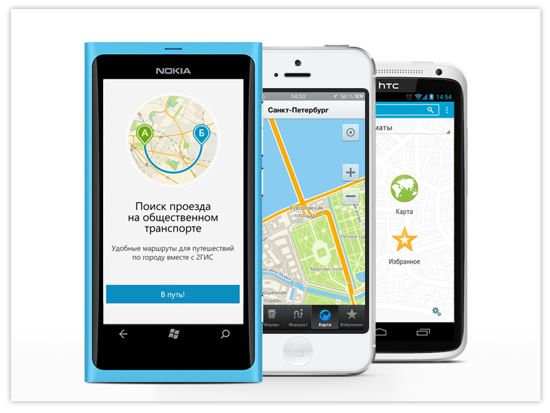
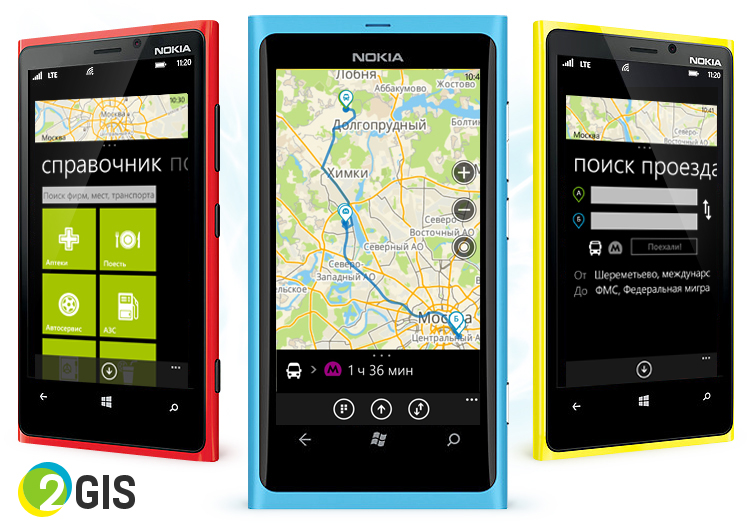
We have two news for owners of devices running Windows Phone, and they are, without exaggeration, excellent. WP was the last bastion of the lack of public transport access, but it also fell. At your service are thousands of transport routes in more than 200 cities - we will find and show the best.

Another innovation concerns the operation of the application without the Internet. Previously, nothing could have been done in such situations. Well, maybe just read the message that you need to connect. Now the map is cached, the Internet is not needed to view it. In addition, the cards of organizations included in favorites are also available offline.
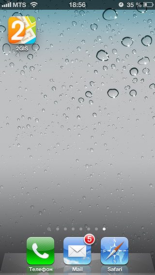
We worked on the design of the application and its icon - now they are modern, light and airy, like Napoleon. Which cake. The buildings have separate screens, where sometimes (if the building has historical value) you can read some facts about it. Interesting and everyone else.


Here, too, there are the aforementioned building screens, but the main thing is that we have successfully (with your help) completed testing and implemented hardware graphics acceleration. Now the application runs smoothly and quickly. At the same time, we adapted the font size for modern flagships with FullHD screens.
You can install new mobile versions, you know where. If you still don’t know, we suggest - in the Windows Phone Store , App Store and Google Play.

Windows phone
We have two news for owners of devices running Windows Phone, and they are, without exaggeration, excellent. WP was the last bastion of the lack of public transport access, but it also fell. At your service are thousands of transport routes in more than 200 cities - we will find and show the best.

Another innovation concerns the operation of the application without the Internet. Previously, nothing could have been done in such situations. Well, maybe just read the message that you need to connect. Now the map is cached, the Internet is not needed to view it. In addition, the cards of organizations included in favorites are also available offline.
iOS
We worked on the design of the application and its icon - now they are modern, light and airy, like Napoleon. Which cake. The buildings have separate screens, where sometimes (if the building has historical value) you can read some facts about it. Interesting and everyone else.


Android
Here, too, there are the aforementioned building screens, but the main thing is that we have successfully (with your help) completed testing and implemented hardware graphics acceleration. Now the application runs smoothly and quickly. At the same time, we adapted the font size for modern flagships with FullHD screens.
You can install new mobile versions, you know where. If you still don’t know, we suggest - in the Windows Phone Store , App Store and Google Play.
